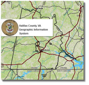
Also, see this Interactive State Map. Virginia Department of Transportation - (VDOT) - Flash Format
VDOT's Online Transportation Information Map!- (VDOT) - an interactive map presented as layers of data that includes aerial photos.
Halifax County Roads
This 1969 Virginia Dept. of Highways map of Halifax County is the last known map
showing all the original crossroads communities, creeks, railways, and churches.
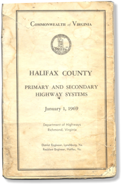

Click on any portion of this map to view and print individual high resolution copies.
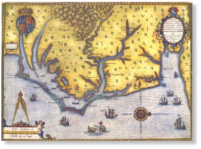
More Old Maps
The 1827 Herman Boye "nine-sheet map" segment of Halifax County

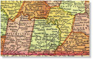
An 1895 Rand, McNally & Co. map of Southside Virginia
Historical Maps of Virginia (Alabamamaps.eu.edu)